Waikato Land Surveying Services:
Topographic Surveys
Assisting with Topographic Surveys, the starting point in any development
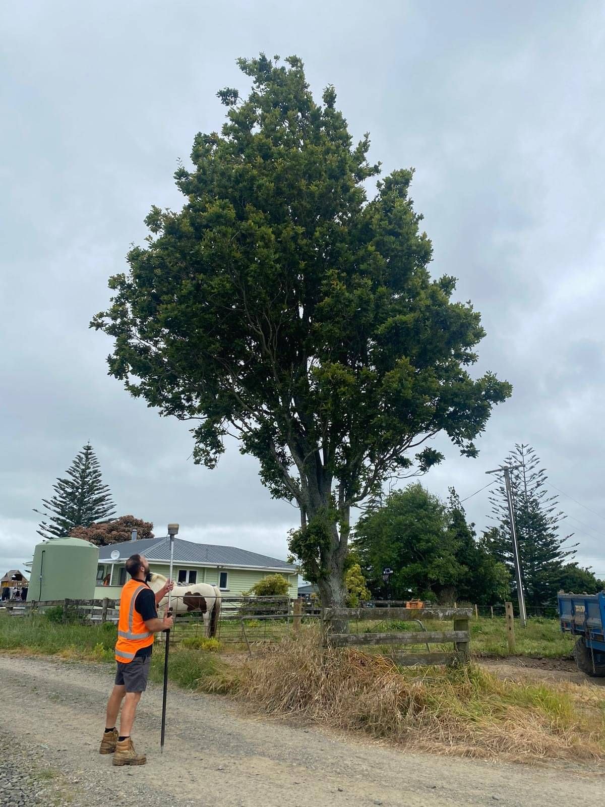
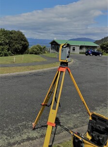
Topographic surveys are a survey to collect point data of land, built and natural features.
From the survey undertaken on site, Rad Surveying produce a topographic plan showing buildings, paved areas, services, spot heights, contours, legal boundaries, trees and tree drip lines heights and other feature information.
This information underpins all aspects of the project and is used by other professionals (e.g. architects, engineers) for their processes. We can tailor the information we collect to the needs of the project.


